The Lunigiana Trail
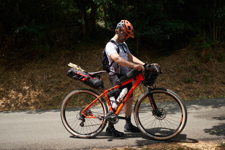
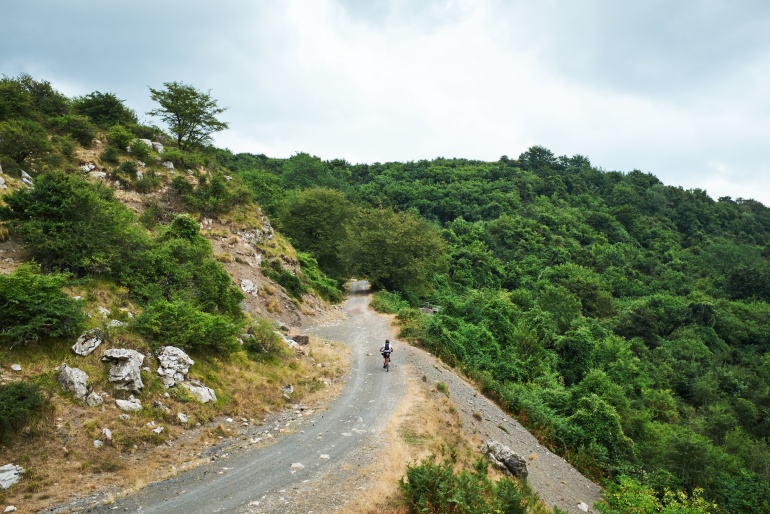
"The Lunigiana Trail is a loop of more than 230 km and over 6700 meters in altitude starting from Pontremoli and crossing the most remote and wild areas of Lunigiana region, in the north of Tuscany. Bumpy gravel roads, single tracks, impracticable traits, almost total absence of telephone/internet coverage and the lack of support points for eating, sleeping and hydrate, make this trail an hard and challenging multiple-days mountain biking adventure.
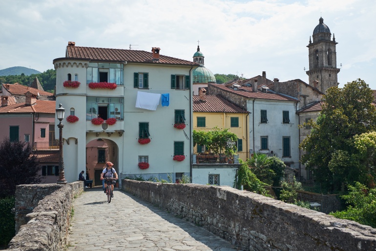
Lunigiana is an historical Italian region located in the northernmost part of the Apennines, established by the Roman Empire with the foundation of the city of Luna in 177 A.C. Being a wild and sparsely populated area, brigands and bandits have often found refuge in the multitudes of valleys that this region has to offer. In ancient times, locals took advantage of its remoteness to hide and preserve censored books in order to prevent them from being destroyed. The historical importance of this can still be experienced while taking a walk among the many bookstores in the city center of Pontremoli, where the Lunigiana Trail starts and finishes.
The track keeps on going even at high altitudes where the nature is untouched and thick woods, ridges, and high altitude pastures make it even more difficult to do so. In the northeastern part of the territory you will be able to ride alongside the Tosco-Emiliano Apennines and you will find yourself struggling to continuously cross through valleys, streams, and medieval villages. In the southern part, youll be accompanied by the sharp profile of the Apuan Alps peaks until you then reach the Ligurian Apennines and its gentle ridges that divide Tuscany from Liguria. From there you will be able to admire breathtaking views of the Tyrrhenian sea and the Gulf of Spezia. This is only a fraction of the beautiful scenery that will greet you along this 230-kilometer adventure through an unexpected corner of Tuscany."
Personal Project, Published on Bikepacking.com


